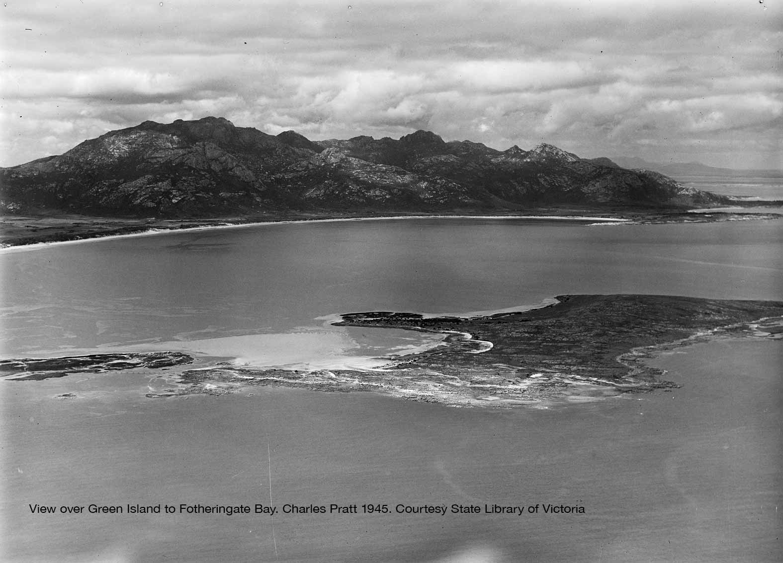
In the south west corner of Flinders Island sits one of the Furneaux Group’s best known places – Trousers Point and the adjacent Fotheringate Bay. Here a classic walk around the headland offers views across to the islands standing guard at the western entry to Franklin Sound.
Along the west coast of Flinders Island a ring of outer islands offer shelter from the ocean swell and provide a choice of safe anchorages. These combine to create the natural harbour in place offshore from Whitemark.
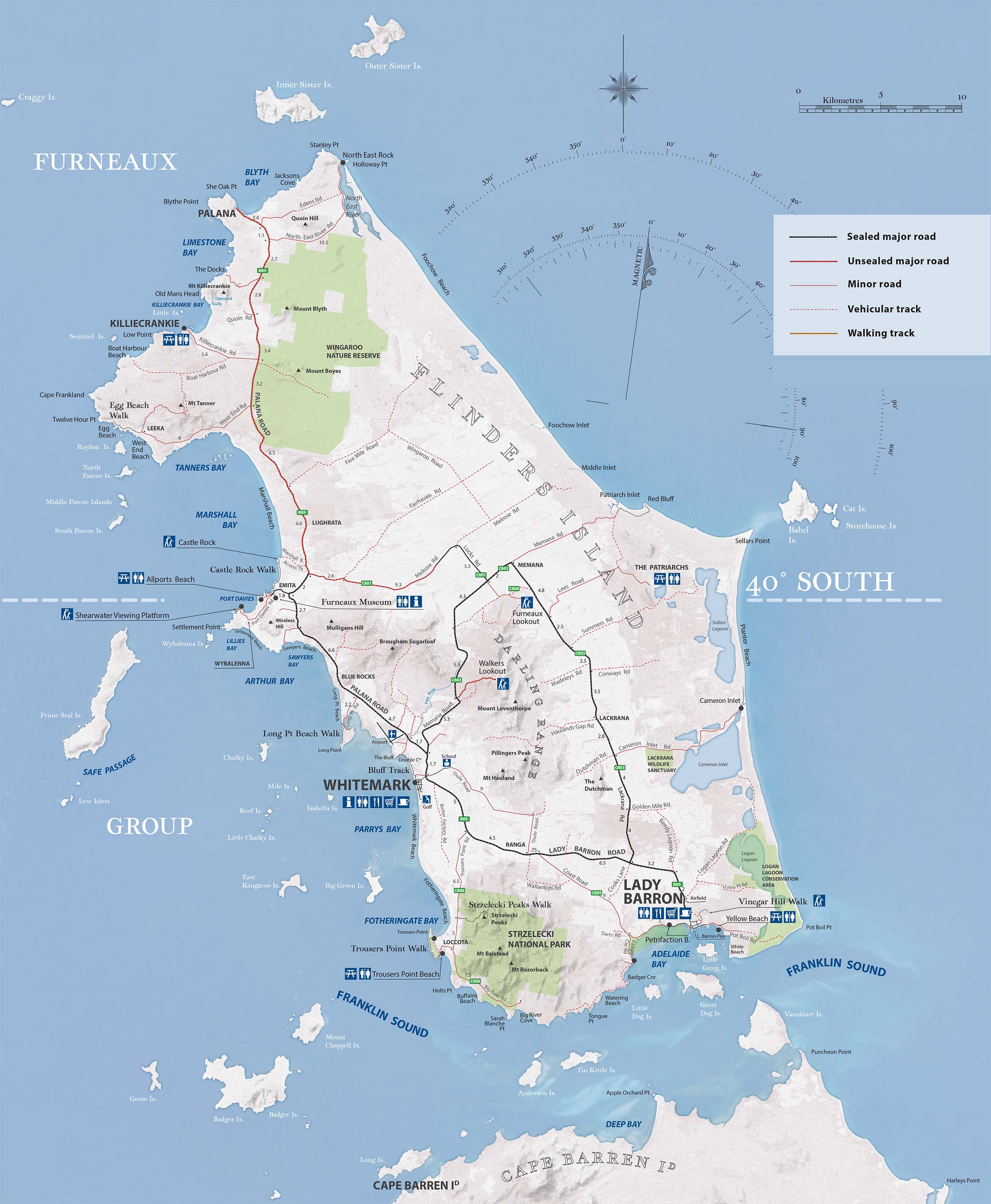
Browse through the interactive landscape map below to read more about these and other features.
Whitemark and the adjacent Pats River precinct were natural points of entry to Flinders Island well before the airfield was established in the 1940s. The early 1900s arrival of motorised cargo ships capable of operating in shallow water encouraged the construction of a wharf here.
From there on Whitemark developed as one of the island’s major centres.
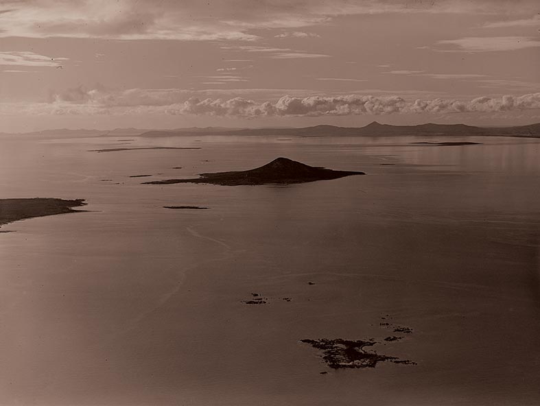
To the north the effects of the imposing Prime Seal Island creates the naturally enclosed waters of Arthur Bay. This sheltered location was valued by the seal populations that originally thrived here. Today the numbers of these marine mammals are recovering from the devastating impacts wrought on them by the arrival of the sealers here in 1799.
exploring Flinders Island ...