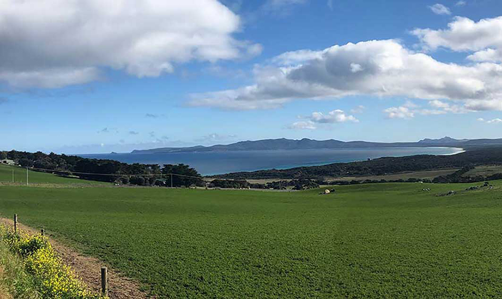
The lands surrounding Marshalls Bay have long been recognised as offering some of the most fertile and accesible farming territory on Flinders Island.
Marshall Bay gets its name from the three masted clipper ship the “George Marshall”.
This vessel was intentionally run aground here on 15 January 1862 after hitting a submerged rock north west of here at night. Fortunately no lives were lost and the ship’s cargo was salvaged.
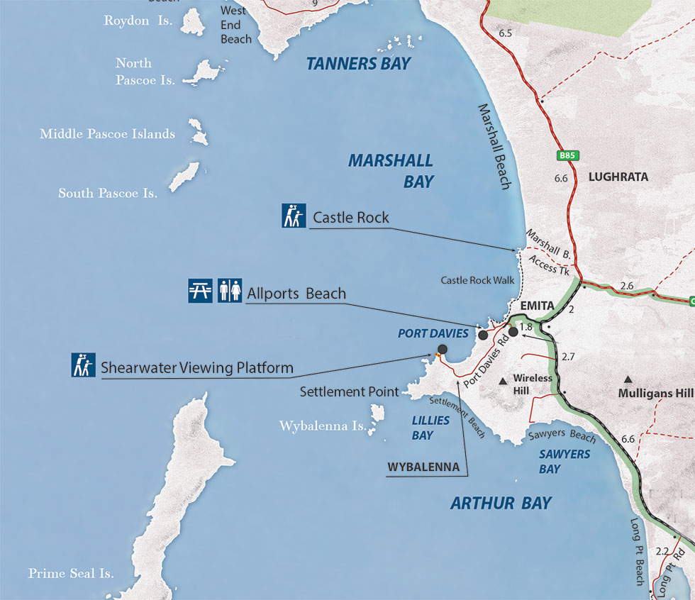
Today the shores of the bay are best known for the iconic Castle Rock. If you look across from here to the line of the beach running along the bay, you should be able to spot this granite feature.
On the northern shores of the bay you can see the outline of Mount Tanner with the prominent shape of Mount Killiecrankie rising behind this to mark out the horizon.
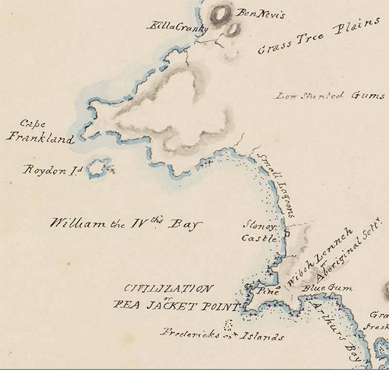
When George Woodward produced the first map of Flinders Island in 1832 he celebrated the recent coronation of the new King of England by naming this bay after him.
The title of William the IVths Bay however doesn’t seem to have caught on. This meant that when the sleek new eight year old clipper the “George Marshall” was intentionally beached here in January 1862, Marshall Bay became an instant landmark.
Thanks to the sheltered waters of the bay a great part of both the cargo and the fittings were able to be salvaged from the ship.
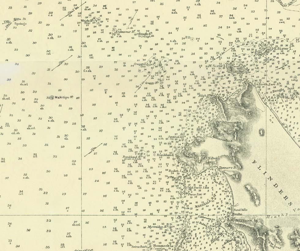
The real demise of the George Marshall actually occurred some 6 hours sailing time away from here to the north east in the vicinity of Wrights Rock.
The ship struck a submerged rock here in the middle of a foggy night on 14th January and by morning had freed itself from the reef. It was however taking on so much water, that the even with all hands on the pumps it was clear that the ship was doomed.
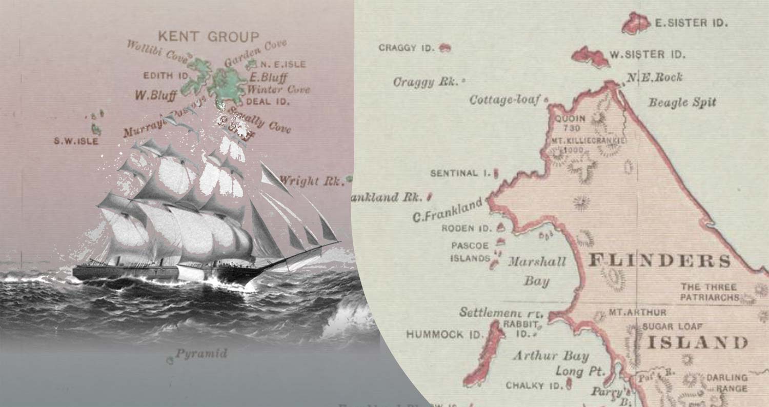
Captain Davison would doubtless have consulted the detailed charts recently compiled for the Bass Strait islands by the HMS Beagle survey under the command of John Stokes in 1842.
Identifying the large bay on the north west of Flinders Island as a nearby refuge, he arrived here to beach his stricken ship at around 11am. Once all passengers and crew safely disembarked, they would have appreciated landing alongside the only inhabited pecinct Flinders Island had to offer at this time.
Settlement Point was the location of the Wybalenna Aboriginal settlement that operated here from 1833 up to 1847.
Following the closure of this tragic resettlement camp, the fertile open expanses of the precinct became a natural hub for the kangaroo hunters that operated across the north of the island.
This well watered, settled, open country would have been of great assistance to the salvage teams that operated here across the opening months of 1862 to rescue anything of value from the wreck of the George Marshall.
Marshall Bay and environs ...
The walk along the beach from the eastern side of Allports Beach up to Castle Rock is recognised as one being one of Tasmania's 50 Great Walks.