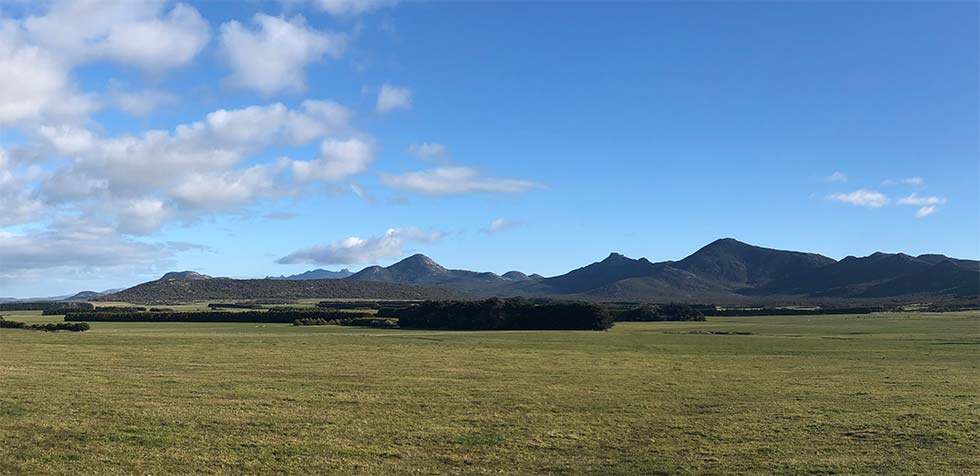
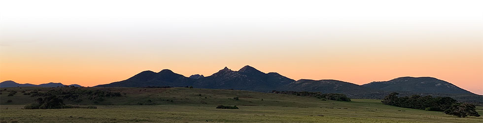
The chain of granite hills leading southwards like stepping stones across Bass Strait apparently linking Tasmania to mainland Australia, was the lure that led Pawel Strzelecki to land on Flinders Island in 1842 and climb to the highest point along the range.
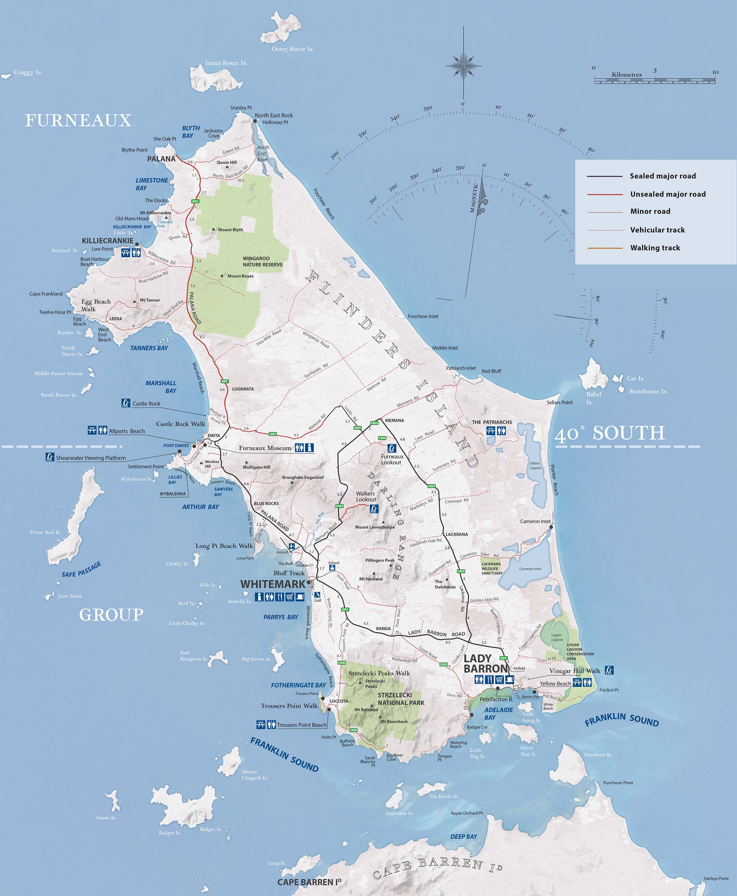
At the time, his travelling companion – Captain Stokes – was chartmaking away onboard the HMS Beagle. Stokes noted the event by naming the summit Strzelecki Peaks. Browse through the interactive landscape map below to read more about these and other features.
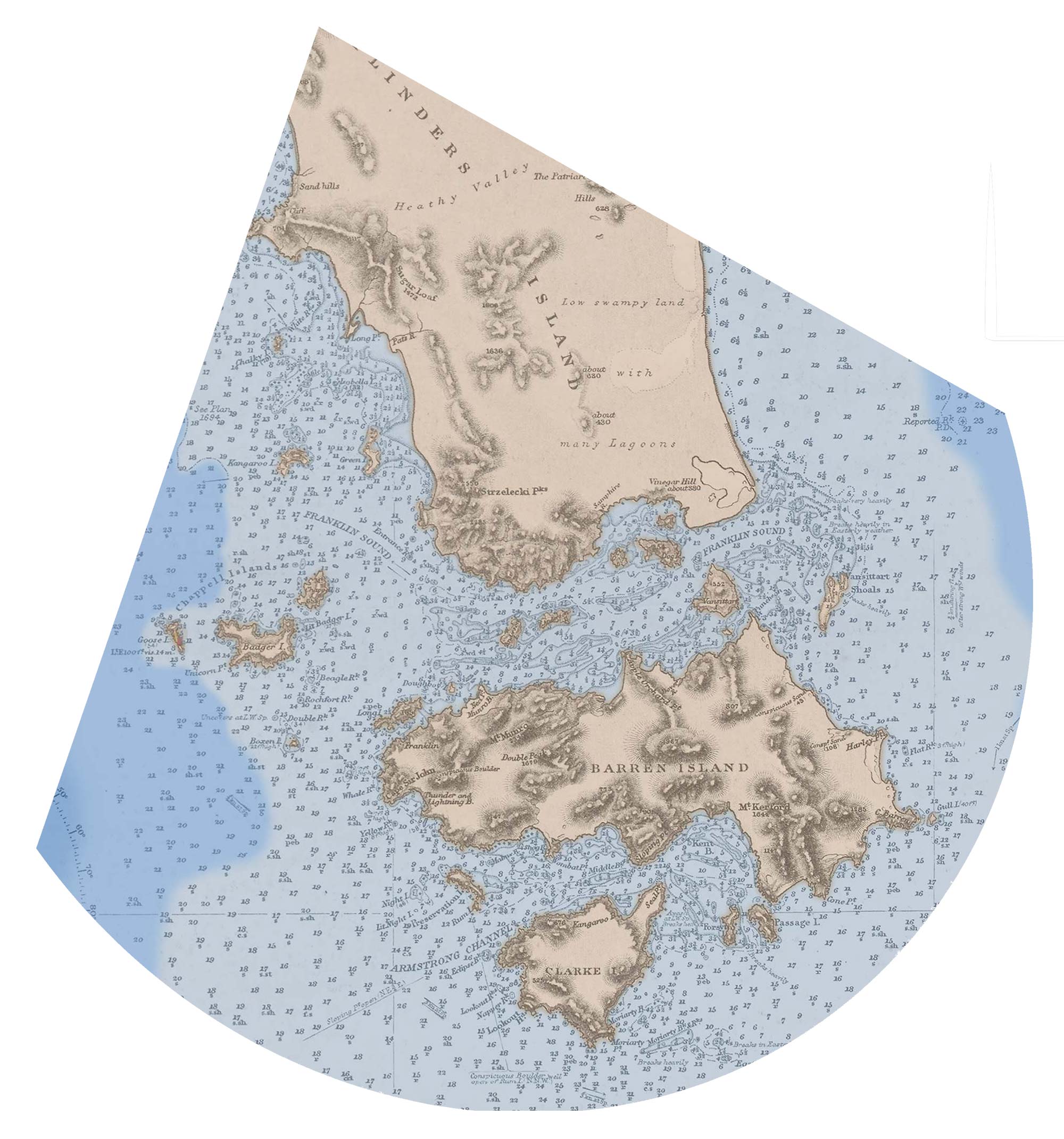
The southern section of the Furneaux Group of islands extends well beyond the high ground we see here on Flinders Island.
In addition to the small islands found around Franklin Sound and Armstrong Channel, both Cape Barren and Clarke islands lie to the south.
Across the 1800s, these places were the first to be settled as initially the sealers, and then the straightsmen, took up residence in the Furneaux Group.