FOTHERINGATE BAY
the bay + surrounds
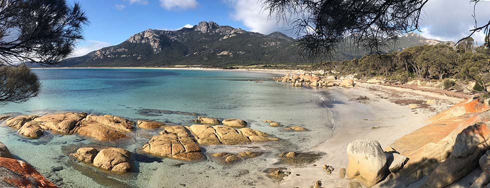
Today Fotheringate Bay and the Trousers Point promontory that encloses it to the south are one of Flinders Island's most popular visitor destinations – and with good reason.
The scenery is stunning and picnic and camping facilities are in place. From there beach and headland walks are accessible to anyone capable of negotiating steps and uneven surfaces.
A feature of this area are the nearby offshore islands. These provided an array of campsites where the sealers could set up their operations across the early 1800s.
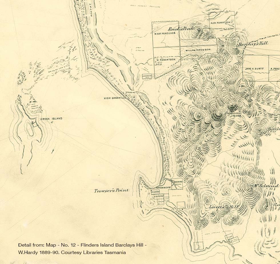
It was only in the late 1880s that people really started moving in and setting up their farms across Flinders Island. You can see this in this map from 1889 where the new Maynard holding at Fotheringate Bay is clearly shown.
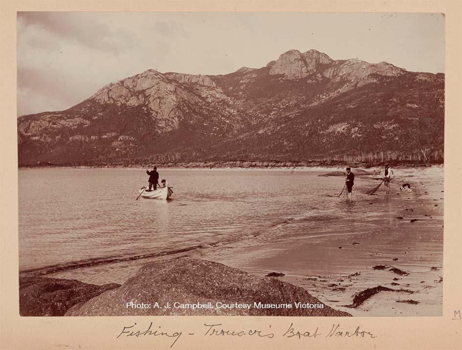
We get an idea of how the bay looked at this time from a photo taken by a group of scientists who arrived for a short study break here in 1893.

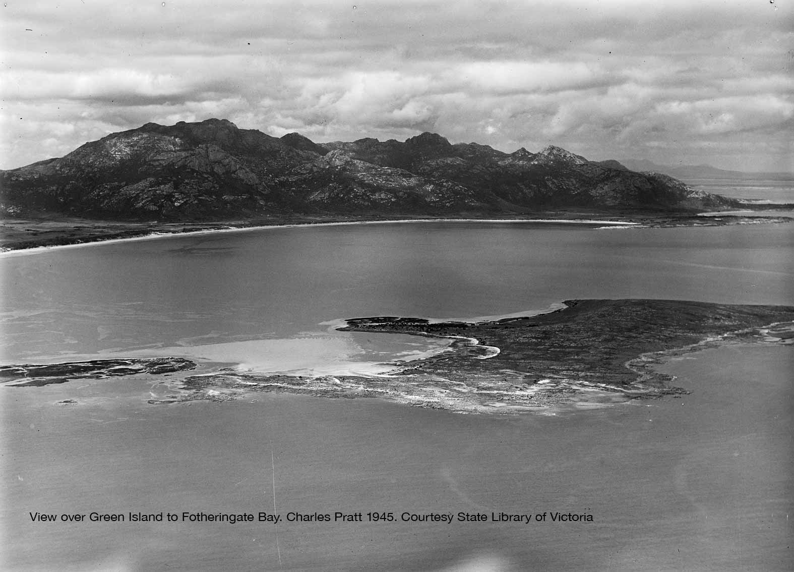
The aerial view below over Green Island to Fotheringate Bay and Strezelecki Peaks shows the close connect of Fotheringate Bay with the offshore islands.